
What Records Say About Chicago Heights Neighbors
A block lookup works by matching each question to its keeper. CookViewer supplies parcel shapes and civic boundaries. The Assessor adds property characteristics, Clerk Recordings adds legal documents, and local history collections can identify past names in specific publication years. Current Chicago Heights neighbors are not published as one official list.
| Source | What It Shows About a Block | Access |
|---|---|---|
| CookViewer parcel map | Adjacent shapes, PINs, aerial view, zoning, flood, and district layers | Free web map; nearby distance is approximate |
| Assessor parcel cards | Class, characteristics, values, and exemption fields for one parcel | Search each address or PIN with CAPTCHA |
| Clerk Recordings | Indexed deeds and legal documents tied to each PIN | Free index; document copies may cost |
| Ward, calendar, and boards pages | Public meetings, ward geography, and civic channels | Open city pages, not a member roster |
| Library and SSGHS | Past address-to-name entries, phone books, papers, and local files | Reference access with gaps between years |
A parcel location is not a mailing address, and an indexed deed party is not proof of present occupancy. Absentee ownership, old records, and stacked parcels can all break a simple name-to-door assumption. Keep the source date and exact field with every finding.
The source table also shows why a block inquiry may need several access channels. Web maps and indexes handle the first pass. Paid document copies, a clerk or assessor counter, city FOIA, telephone or email help, and library reference service fill gaps that the public interfaces cannot answer.
CookViewer's Nearby View for Chicago Heights Neighbors
CookViewer begins with a selected source parcel. Search by parcel PIN, parcel address, intersection, map click, or even a partial PIN that narrows an area. Once Property Details opens, the nearby tool can show address-based results within roughly 100 feet. That radius is approximate and is not a legal block line.
Pan and zoom to inspect the geometry, then click each adjoining parcel shape. Select-multiple, comparison, and measurement controls can help define a small block context. High-rise or stacked parcels open a choice panel, so the map user must select the exact PIN rather than assume the first label applies.
The viewer can print a map or report as a PDF, with a title, page template, print area, and optional search results. A saved map records the scope of the check, but it still shows parcels, not verified households.
CookViewer layers vary by zoom, so a missing boundary may simply require a closer or wider view. Useful layers include parcels, aerial imagery, zoning, flood information, and public districts. Select only the layer that answers the question, since a crowded map can hide the parcel line that matters most.
The map service's public parcel layer supports map, query, and data formats, but its 2,000-record selection limit is not an invitation to assemble a mass list. The neighbor method stays small: one source address, the adjoining shapes, and a documented reason for checking them.
Map a Chicago Heights Block Parcel by Parcel
The safest process treats each surrounding parcel as a separate record. The PIN is the bridge among GIS, assessment, tax, and recording systems, while the street label is a convenient starting clue.
- Find the source address in CookViewer and confirm the selected parcel shape.
- Copy its 10-digit, 14-digit, or dashed PIN and note the situs and district fields.
- Click each adjoining shape, recording a separate PIN rather than carrying a name across a line.
- Open each Assessor card for property facts and each Clerk index result for recorded instruments.
- Mark any stacked parcel, unclear line, or stale field for direct custodian confirmation.
The Assessor warns that Property Location is not a legal or postal mailing address. An exemption may be an administrative clue, but it does not confirm a named person's current home. For the longer road-wide chain, use the Chicago Heights street directory.
If a deed index is needed, search the adjacent parcel's own PIN. Record document type and dates before viewing the indexed grantor or grantee. Mortgages, releases, liens, and transfer deeds serve different purposes; a party on one instrument should not be recast as a current Chicago Heights neighbor.
Chicago Heights Neighbors May Cross District Lines
One apparent block can cross ward, school, park, library, tax, township, or ZIP boundaries. CookViewer's parcel fields make those differences visible. A sample parcel carried Chicago Heights and Bloom Township labels plus distinct elementary, high school, community college, library, park, and county district fields.
The Cook County Property Fraud Alert page is one official parcel-related service captured for this project.
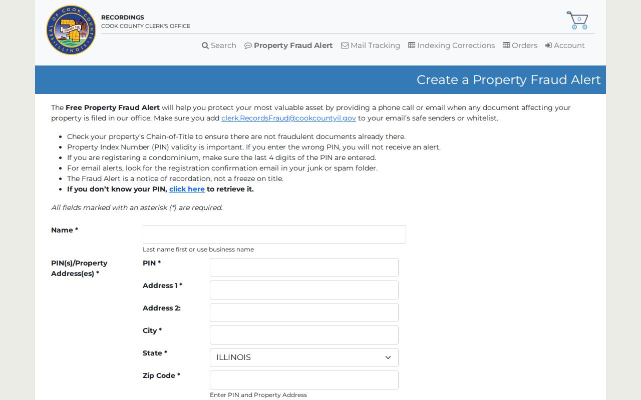
The alert service is for recording notices tied to a property; it is not a feed of Chicago Heights neighbors or proof of who occupies a parcel.
Turn on the needed layer and state its name when describing the block. A ZIP boundary should not be called a ward line, and a tax municipality should not be treated as a postal city.
This is especially important near a line where two parcels that look adjacent on an aerial image report different civic fields. The map is useful precisely because it preserves those differences. Describe the ward, district, or township shown for each parcel rather than applying one block-wide label by sight.
Voter Records Do Not List Chicago Heights Neighbors
Illinois's public registration lookup is built to confirm one person, not browse a block. It requires first and last name, birth date, five-digit ZIP, street number, and a street name selected after the address fields narrow the choices. A no-match can reflect spelling, a move, an update, inactive status, or protected data.
The Cook County voter information page is represented by the project image below.
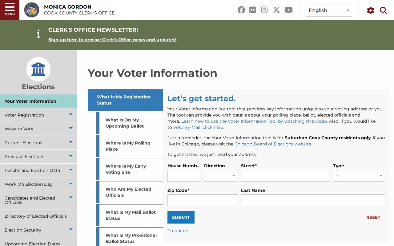
The page supports an exact-person route and should not be used to infer how anyone voted or to construct a neighbor roster.
Full computerized voter data is restricted to eligible political organizations for bona fide political purposes, carries geographic fees, and excludes dates of birth. Protected-voter and Safe at Home information must remain protected. For ordinary block research, stop at the public individual tool.
Registration status also does not reveal a ballot choice. Illinois does not present the public status tool as a street roster, and its many required fields prevent a casual block browse. If a voter record seems wrong, the election office is the correction channel; a parcel or directory source cannot correct it.
Public Channels for Chicago Heights Neighborhood Questions
No official citywide neighborhood-association directory was located. Chicago Heights does publish ward meetings, a ward map, a calendar, and boards and commissions information. Those sources provide a civic route without inventing private groups or naming presumed members.
| Community channel | What is public | Directory limit |
|---|---|---|
| Chicago Heights ward meetings | Ward geography and public meeting dates or places | No resident or member roster |
| Boards and commissions | Public civic-body information | No neighborhood-association index |
| Historic Preservation Advisory Committee | Historic homes, landmarks, tours, and guidance | Not a people directory |
| Chicago Heights Public Library | Ask a Librarian, local history, and catalog help | No online block roster |
| South Suburban Genealogical & Historical Society | Regional files, directories, census, and cemetery resources | Historical reference, not current membership by block |
The preservation committee notes that Chicago Heights has no separate historical society. In practice, the committee, library, and SSGHS form a three-part history network for careful questions about a place.
Ward meetings can be the most direct current civic directory. The city calendar listed meetings for all six wards at public school or community locations in July 2026. Confirm the live calendar before attending, then ask a place-based question without requesting a list of private attendees or residents.
Finding Past Chicago Heights Neighbors by Address
Historical neighbors can sometimes be found in Haines or criss-cross directories from the 1980s and 1990s, older city directories, phone books, and newspaper microfilm. The Chicago Heights Public Library holds the local reference route, while SSGHS has regional files and more than 14,000 non-circulating items.
Sanborn maps from 1897, 1911, and 1950 show buildings, blocks, street labels, and uses, but do not name occupants. Pair a map sheet with a directory from a close year, then verify the printed address in a deed, census schedule, or newspaper when available. Gaps between directory runs should remain visible.
Chicago Heights history adds useful search terms. The East Side, Hill, Bloom Township, Lincoln Highway, Inland Steel, and Bloom Township High School can lead to maps, yearbooks, papers, or institutional archives. They are context clues, not a basis for assigning a private affiliation or identity to someone on the block.
The local History Room and Ask a Librarian route can help confirm which directory or phone-book years are available. SSGHS adds regional directories, census resources, naturalization material, local files, and a cemetery index. Ask for one named collection and year whenever possible so a reference answer remains traceable.
History note. A name printed at an address in one year is a dated lead and does not establish a present neighbor.
Official Block Records and Commercial Neighbor Tools
Official sources are narrower but clearer about provenance. A parcel map identifies geography, a recorded instrument identifies indexed parties to that document, and a voter tool confirms a submitted match. Commercial neighbor tools may blend public and purchased data, often without showing how old each field is.
Official rolls
Named custodian, defined record purpose, visible search fields, correction route, and source-specific limits.
Commercial compilations
Broad convenience, but possible stale addresses, merged identities, unclear refresh dates, and no authority over source corrections.
Use the least detail needed for a lawful personal question. If an official record is wrong, contact its custodian. A third-party page cannot amend the county parcel, voter, court, or recording source.
Official sources still require judgment. A parcel snapshot can lag, a legal document may show a past transaction, and a library directory may omit a household. Their advantage is that the researcher can name the record, date, and office, then seek a correction or a more authoritative copy.
Privacy Limits for Chicago Heights Neighbors
Public parcel records omit many people who may live at an address, including household members and occupants not named in a recorded instrument. Utility customer data, DMV addresses, protected-voter information, sealed or juvenile court material, and restricted vital records are not block-search fallbacks. Illinois Safe at Home also provides substitute-address protection for eligible participants.
The Illinois State Police registry disclaimer explains the separate official registry's scope and restrictions.
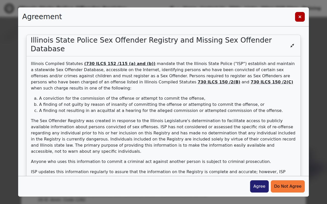
A registry entry is a status record about a specific person; it is not a list of every household or a license to harass anyone.
The Illinois Department of Corrections Inmate Search is likewise a separate statewide custody resource with its own archived-record directions.
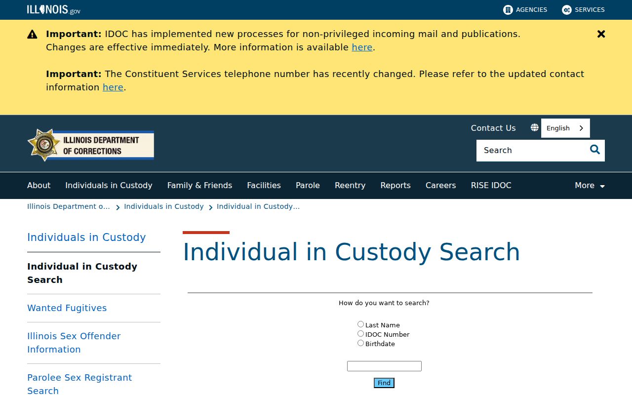
It answers custody questions, not who currently lives on a Chicago Heights block, so keep it outside any parcel-to-neighbor inference.
Lawful use. Use Chicago Heights neighbor records for civic context, place history, or a careful personal inquiry. Never use them to monitor, harass, intimidate, or expose a protected person.
If a public map or index creates a safety concern, share the minimum necessary detail and use the custodian's correction channel. Property Fraud Alert can notify an enrolled person about recording activity, while Safe at Home addresses confidentiality needs. Neither service turns public files into a private resident list.
Illinois law also keeps DMV address data from becoming an alternate lookup route. Restricted vital records, sealed cases, and private customer lists remain outside the block method. The absence of a name in an open source is therefore not proof that nobody lives at the address.
When uncertainty remains, label it. A finding may be a parcel fact, an indexed ownership clue, a past directory entry, or a public meeting channel. Those careful labels let readers understand Chicago Heights neighbors and civic geography without claiming more than the source can support.