
How Chicago Heights ZIP Codes Cover the City
The Chicago Heights ZIP code directory begins with one primary mailing area and a set of statistical overlaps. USPS confirms the local postal facility and its delivery label, while Census ZIP Code Tabulation Areas, or ZCTAs, describe shapes used for statistics. A ZCTA touching the city does not mean every address in it has a Chicago Heights mailing label.
| ZIP Code | Areas Covered | Post Office | Notes |
|---|---|---|---|
| 60411 | Primary Chicago Heights mailing area | Chicago Heights Post Office, 1333 W End Ave | USPS facility result is 60411-9998 |
| 60412 | Archived USPS destination-group companion | Grouped under Chicago Heights 60411 in a 2011 DMM | Verify any current address with USPS |
| 60422 | Fully or partly overlaps city geometry | No city-specific facility verified | Census ZCTA, not a delivery boundary |
| 60425 | Fully or partly overlaps city geometry | No city-specific facility verified | Check the parcel and mailing label |
| 60430 | Fully or partly overlaps city geometry | No city-specific facility verified | May include nearby municipalities |
| 60461 | Fully or partly overlaps city geometry | No city-specific facility verified | Not a city-only ZIP |
| 60466 | Fully or partly overlaps city geometry | No city-specific facility verified | Not a city-only ZIP |
No official recent split, realignment, PO-box-only ZIP, or unique institutional ZIP was found for Chicago Heights. That gap matters: the verified facts support a careful coverage table, not claims about neighborhoods or delivery routes that the sources do not make.
The six secondary ZCTAs belong in this Chicago Heights ZIP code directory because their Census geometry touches the city. They should be read as overlap warnings. A researcher who finds 60422, 60425, 60430, 60461, or 60466 should confirm the specific street through USPS and the parcel map instead of assigning the whole code to Chicago Heights.
The 60411 ZIP Code and Chicago Heights Post Office
The official USPS facility page is the strongest local postal anchor in the research. It identifies the Chicago Heights Post Office at 1333 W End Avenue and displays 60411-9998. The last four digits describe that facility result; they do not make every address in the city share the same ZIP+4.
The source page can also help distinguish a post office from a boundary map. It verifies a facility and mailing label, but it does not draw the delivery area or decide whether a parcel lies within the incorporated city. Use it as the postal side of the check, then compare the address with county GIS.
The USPS Chicago Heights Post Office page is shown in the reference image below.
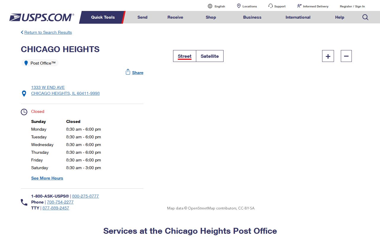
The captured page provides a visual checkpoint for the named facility and should still be rechecked before relying on current services.
Why Chicago Heights ZIP Code 60412 Appears
An archived USPS Domestic Mail Manual destination group dated 2011 pairs 60411 and 60412 under Chicago Heights, Illinois 60411. That is useful evidence of postal grouping at a point in time. It is not a live street-by-street map and does not prove that every 60412 address sits within Chicago Heights city limits.
Source-date note. Treat the 2011 destination group as historical postal context and confirm a present delivery label in the current USPS address tool.
This distinction keeps the ZIP code directory honest. An archived operations document can explain why two codes appear together, while the live USPS result is the better source for one current address. County parcel data then answers the separate question of legal and tax geography.
The same rule applies when an old letter, directory entry, or deed uses a mailing city that seems inconsistent with a current map. Preserve the wording and date from the old source. A later postal label may reflect routing changes rather than a move, annexation, or change in the legal parcel.
A Chicago Heights ZIP Code Search Workflow
Official tools do not offer an open list of everyone in a Chicago Heights ZIP code. The workable method is to start with a known person or address, verify the postal field, and move through parcel or registration tools whose inputs match that lead. Each step answers a narrower question.
- Verify the exact delivery label for the known address through USPS.
- Search CookViewer by address or PIN, then inspect ZIP1, ZIP2, city, township, and district fields.
- Open the Assessor card with the street address or 14-digit PIN; its form has no verified ZIP-wide filter.
- For one voter, supply the required name, birth date, ZIP, street number, and selected street name.
- Keep the record date and source beside the result, since parcel and postal fields can change.
Once the ZIP has narrowed the search to a road, the Chicago Heights street directory explains the distinct address and deed trail. A ZIP match alone should never be turned into a claim that a person currently lives within the city.
ZIP Fields in Chicago Heights Records Portals
The ZIP code directory works best when readers know which field is a search input and which appears only after a match. CookViewer exposes ZIP fields in parcel data. The voter tool uses a ZIP to narrow a specific-person match. The Assessor form instead asks for street and city or a PIN.
| Official tool | ZIP-related field | How it is used | What it cannot do |
|---|---|---|---|
| CookViewer | ZIP1 and ZIP2 | Parcel feature fields after address, PIN, intersection, or map selection | Does not identify occupants |
| Illinois voter lookup | Five Digit Zipcode | Required with name, birth date, street number, and dynamic street name | No ZIP-wide voter browse |
| Cook County Assessor | No exposed ZIP filter | Search address with city or use a 14-digit PIN | No verified ZIP resident list |
| Clerk Recordings | No ZIP-wide mode | Use PIN, address, indexed party, or legal description | Does not browse a whole ZIP |
CookViewer's public parcel layer also has a 2,000-record limit, so even a technical query should not be mistaken for complete citywide coverage. The stable handoff among county systems is usually the PIN, not the ZIP.
The public voter lookup offers the clearest ZIP input, yet it is deliberately narrow. First Name and Last Name are required, Birth Date uses a month-day-year format, and the five-digit code unlocks Street Number and a dynamic Street Name list. The form confirms a submitted identity match; it does not return a list for that code.
CookViewer takes a different approach. Search begins with an address, parcel PIN, intersection, or map click. ZIP1 and ZIP2 appear as attributes on a selected parcel. The Assessor requires House Number, Street Name, City, and CAPTCHA, with optional direction and unit, or a 14-digit PIN plus CAPTCHA. These differences explain why one broad query cannot be copied from portal to portal.
One Chicago Heights Parcel, Many Boundaries
A CookViewer sample at 129 Floyd Lane shows why ZIP-only research is too coarse. The parcel carries Chicago Heights, 60411, Bloom Township, the City of Chicago Heights tax municipality, and separate school, library, park, college, county review, and commissioner districts. Each label answers a different civic or tax question.
The Cook County Property Information portal illustrates the county property route used after a parcel has been identified.
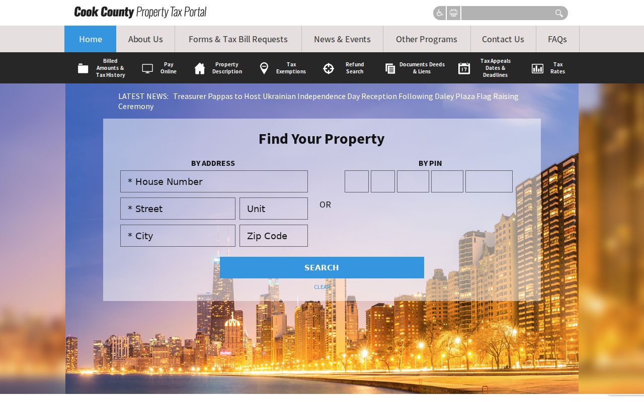
The portal image is a reminder to carry the PIN into linked county records instead of treating the mailing code as a parcel key.
This many-layered geography is not an error. Postal delivery, incorporated government, township administration, and taxing districts were built for different tasks. Record the precise field name rather than shortening every result to "Chicago Heights ZIP code."
The sample also illustrates a data-quality habit. The county REST snapshot and Assessor card differed slightly on land area and building age while agreeing on the PIN and address. A careful researcher keeps each value with its portal and capture date. Silent reconciliation can turn a normal update lag into a false claim.
Where Chicago Heights ZIP Codes and City Limits Part
A Chicago Heights mailing city can extend beyond the incorporated boundary, while a parcel within city geometry can carry an adjoining postal label. The Census overlap list confirms that several ZCTAs touch the city, but it does not pinpoint the street numbers on either side. Check USPS for delivery, CookViewer or the Assessor for parcel and municipal fields, and Census material only for statistical geography.
- ZIP and ZIP+4
- A five-digit delivery area versus a more precise add-on that can identify a delivery segment, firm, or facility.
- PO-box ZIP
- A code assigned mainly to post office boxes rather than ordinary street delivery. None was verified here.
- Unique ZIP
- A code assigned to one high-volume organization. No Chicago Heights example was verified in the research.
- Carrier route
- A postal delivery path within a ZIP. It is operational geography, not the city boundary.
Boundary caution. Never infer residence, city jurisdiction, or current occupancy from a ZIP alone; confirm the specific address with the right custodian.
The legal and postal layers also differ from historical publication geography. A city directory or phone book records the label its publisher used. A deed follows a legal description. A Treasurer account follows the tax parcel. If two layers disagree, do not choose the most familiar label; cite both and explain the separate function of each.
Old Chicago Heights Addresses Across ZIP Eras
Historical research can predate modern ZIP codes or preserve an old street label. Chicago Heights directories, telephone books, newspaper microfilm, and Sanborn maps supply dated forms of an address. The known Sanborn volumes are from 1897, 1911, and 1950, while the local newspaper runs include the Chicago Heights Star from 1906 and Signal from 1911 to 1913.
No official street-renumbering table was found. When an old label fails in a current portal, compare the map sheet, directory year, and newspaper wording, then bridge to the present parcel through its legal description or PIN. Do not silently replace an old address with a modern one.
The local history trail is rich but discontinuous. Verified Chicago Heights city directory runs include 1905-06, 1908-09, 1916, 1923-27, 1937, and 1941. Later Haines and criss-cross material covers various years in the 1980s and 1990s. Phone-book holdings include listed years from 1913 forward, and the library's Star and Signal microfilm can add dated notices between directory editions.
A Sanborn sheet can establish that a street, lot, or structure existed in the mapped year, but it cannot supply an occupant. A directory can add a printed name, but may omit people or use abbreviations. The PIN and legal description then help determine whether the historic place corresponds to today's parcel. This source pairing is more reliable than searching the old text under a modern ZIP.
Historical note. A publication address proves what that source printed in that year, not a person's present location or a modern delivery label.
When a Chicago Heights ZIP Code Is Ambiguous
Start with the office that owns the disputed fact. USPS handles a delivery label. Cook County GIS and the Assessor handle parcel and situs fields. The City Engineer or Code Enforcement can address city street and assignment questions, while the Clerk's deed record supplies legal-description evidence. A specific missing municipal record may be requested through Chicago Heights FOIA.
Older questions have a separate route through the Chicago Heights Public Library, South Suburban Genealogical & Historical Society, Sanborn maps, and newspaper microfilm. These in-person, phone, email, and reference channels matter because no single online system documents annexations, readdressing, and postal change as one complete series.
The best ZIP code directory result is therefore a sourced conclusion with a date: the postal field from USPS, the municipal field from CookViewer, and the historical label from the publication that actually used it.
For a current address-assignment question, contact the Chicago Heights City Engineer or Code Enforcement and the Cook County GIS office. For an older annexation or readdressing record, use the city archive or submit a focused Illinois FOIA request that names the street, date range, and type of map or decision sought. A focused request is easier for the office to route than a demand for all ZIP records.
Telephone, email, counter, and library help are part of the access chain. Cook County GIS, Assessor, Clerk Recordings, and Treasurer each maintain their own records; the Chicago Heights Public Library and SSGHS handle different historical material. An empty online search means the next channel should be checked, not that the address or record never existed.