
Walk a Chicago Heights Street
A reliable Chicago Heights street directory starts with the address, then separates facts about the land from facts about people. The Cook County Assessor identifies the assessed parcel and its characteristics. CookViewer places that parcel among the lots beside it. The Cook County Clerk Recordings Search connects the parcel identifier, or PIN, to recorded instruments. City permit and code records add dated work at the location. Historical reverse directories may associate a name with the address in a stated publication year, but none of these sources alone proves present occupancy.
- Enter the house number, street name, and Chicago Heights in the Cook County Assessor search. Copy the 14-digit PIN from the matching parcel.
- Open CookViewer and search that PIN. Click adjoining parcels one at a time instead of assuming that nearby house numbers share a parcel.
- Carry the PIN into the Clerk Recordings Search. Distinguish transfer deeds from mortgages, releases, liens, and other instruments.
- Check Chicago Heights BS&A and Code Enforcement for permits or inspection records tied to the address. Use city FOIA when published detail is incomplete.
- For an older household, ask the library for a reverse or criss-cross directory from the relevant year. Record the year and title with every name.
The Illinois voter lookup does not offer a street roster. It verifies one submitted person through a multi-field match. Therefore, it belongs at the end of an exact-person inquiry, not in a sweep of every house on a Chicago Heights block.
Chicago Heights Address Search Fields
The Cook County Assessor Property Search has a basic address route and a separate PIN route. The form requires a CAPTCHA, so each search is run interactively. Its street-name instruction matters: enter the name without a suffix such as Ave., St., or Pl. The current form did not expose a dedicated owner-name field. Recorded ownership research belongs in the Clerk index rather than in an assumed Assessor result.
| Search field | Requirement | Chicago Heights entry |
|---|---|---|
| House Number | Required number | Use only the numeric house number |
| Direction | Optional select | N, S, E, W, NE, or NW when present |
| Unit Number | Optional text | Enter a unit only when part of the address |
| Street Name | Required text | Omit the street suffix |
| City | Required text | Chicago Heights |
| CAPTCHA | Required | Complete the on-screen challenge |
The advanced form adds township, a dynamic neighborhood choice, and property class. Bloom is the township shown by the inspected Chicago Heights parcel. The exact neighborhood menu loads after a township choice and was not available in the static form.
The advanced Assessor form shows the controls used for a more focused parcel search.
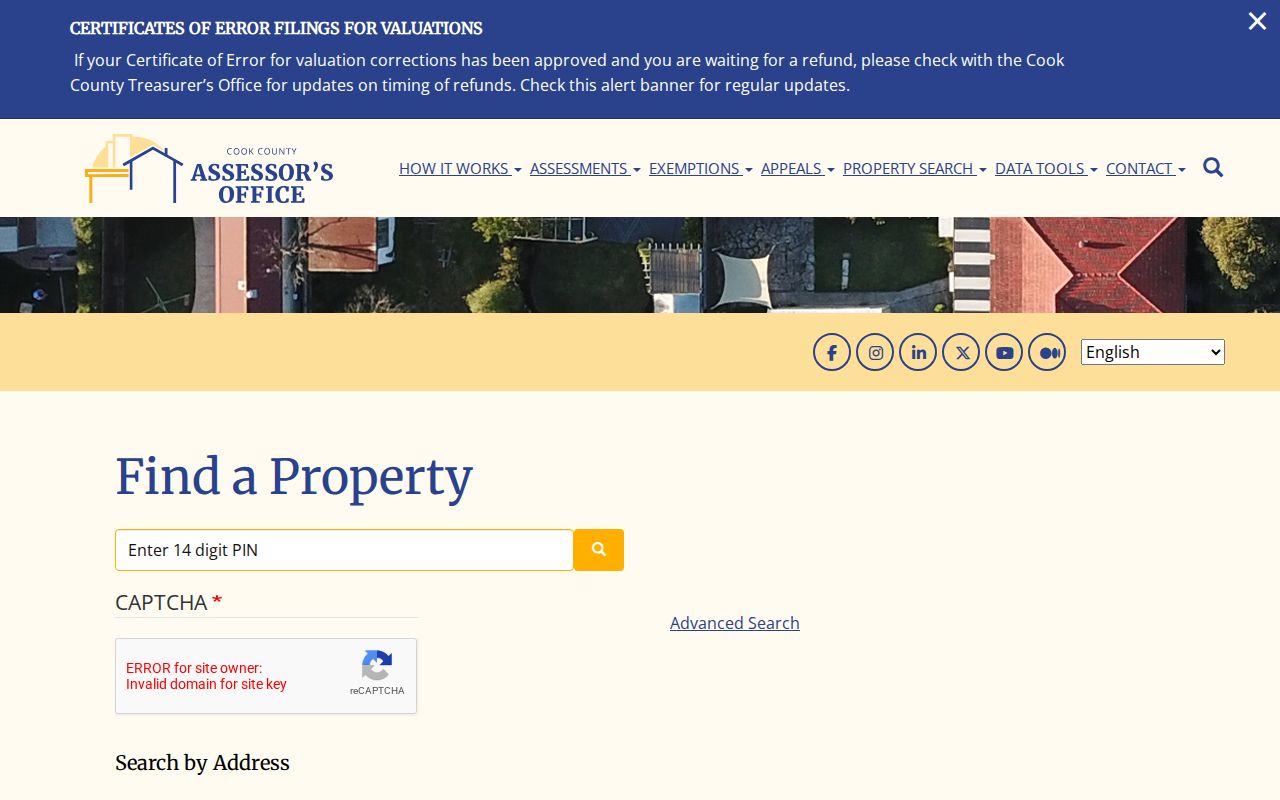
This screen is useful when a simple street search returns too many results, but it still describes assessed parcels rather than a current household.
Chicago Heights Parcels Need Context
A PIN is more stable than a typed street label. Cook County uses 10-digit, 14-digit, and dashed PIN forms across its systems. Once the correct PIN is known, it can connect the Assessor card, CookViewer feature, Treasurer history, and Clerk recording index. A parcel is the assessed unit of land. A situs address is the location assigned to that parcel. A plat is a recorded map showing lots or subdivisions.
- Parcel
- A unit of land identified for mapping and assessment.
- Situs address
- The property location shown by an assessment system, which may differ from a mailing or legal address.
- Plat
- A recorded drawing that identifies lots, blocks, boundaries, or a subdivision.
- Criss-cross directory
- A historical directory arranged by address or telephone number rather than only by surname.
The Assessor expressly warns that its Property Location is not a legal or postal mailing address. It cannot establish who occupies a building. The deed’s legal description is the stronger bridge when street spelling, a unit number, or a parcel split changes.
The Assessor address search shows the live house-number and street controls used to find that PIN.
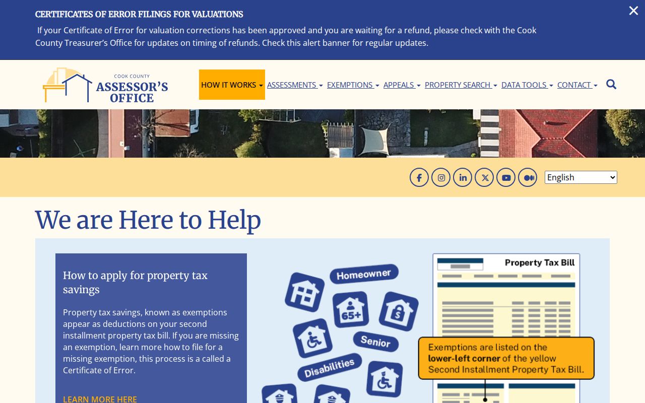
The form’s narrow fields help avoid treating a broad text match as a verified Chicago Heights parcel.
Note: A homeowner exemption may be an administrative occupancy clue, but it is not proof that a particular person currently resides there.
Map Chicago Heights Streets by PIN
CookViewer supports parcel PIN, parcel address, intersection, and map-click searches. After one parcel is selected, its Nearby tool can return address-based properties at roughly 100 feet. That distance is approximate. For a true street-by-street check, browse the map and click each adjacent parcel separately. Stacked parcels can open a selection panel, so one building outline may represent more than one assessed unit.
The viewer supplies parcel, aerial, zoning, flood, and district layers. Its parcel feature can also carry township, school, library, park, tax-municipality, and community-college district fields. Those overlapping geographies explain why a Chicago Heights mailing label, city boundary, and tax district should not be treated as one thing. Select, measure, and comparison tools help define the block without guessing.
The CookViewer image below comes from the official parcel viewer.
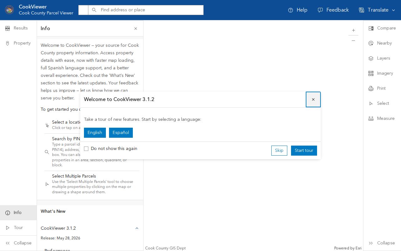
A saved map should include a title and source date. CookViewer can export a PDF map or a report, which makes later verification much easier.
Chicago Heights Street Record Coverage
Each address-keyed source answers a different question. The Chicago Heights street directory works best when the record type is matched to the task. Assessment and GIS records establish parcel identity. Deeds document recorded instruments. Tax systems show bill and payment history. City files may document a permit or inspection. None provides a complete list of people inside a home.
| Record Set | Keeper | What It Shows | Access |
|---|---|---|---|
| Assessment card | Cook County Assessor | PIN, property location, class, values, characteristics, exemptions | Free address or PIN search |
| GIS parcel map | Cook County GIS | Adjacent parcels, districts, zoning, flood, and aerial context | Free CookViewer map |
| Recorded instruments | Cook County Clerk Recordings | Document type and dates, PIN, legal description, indexed parties | Free index; paid images and copies |
| Tax history | Cook County Treasurer | Bills, payments, delinquency, tax sale, and tax districts | PIN or address portals |
| Permits and code | Chicago Heights | Published permit, inspection, or record-number detail | BS&A, department, or FOIA |
The PIN ties the county systems together more cleanly than a name. When the online trail ends, use the Assessor, Treasurer, or Clerk counter; call or email the responsible office; file a focused city or Illinois FOIA request for nonexempt administrative material; or ask Cook County Archives for remote reference. Older address work can continue through library microfilm, SSGHS, and Library of Congress maps.
Follow Chicago Heights Deeds
The Cook County Clerk Recordings Search accepts an address or PIN, while its advanced search adds grantor, grantee, document type, recorded dates, legal description, subdivision, and trust number. A grantor gives an interest; a grantee receives it. Search results show document number, recording and execution dates, and document type. A deed may transfer an interest. A mortgage, release, or lien does not necessarily do so.
The former Cook County Recorder function moved to the Clerk on December 7, 2020. The inspected portal showed documents indexed through August 6, 2026. Official guidance describes online real-estate documents from 1985 forward, yet the live screen does not state a beginning year. Older tract or deed books require verification at the Clerk counter. Some plats, easements, annexations, and related categories also require downtown copies.
The free index supplies the audit trail; document images and certified or non-certified copies follow the Clerk’s paid order process. The current Recordings Search is the right handoff from a parcel map.
Chicago Heights Address Permits
The Chicago Heights BS&A portal exposes city-linked building, license, receivable, and utility-account search categories. Building records can be searched by owner or applicant name, street number, street name, parcel number, or record number. Publication depth is not stated, and a permit applicant is not necessarily a resident. Use the record to date work, an inspection, or a city case, not to claim occupancy.
The BS&A screen below shows the municipal search categories.
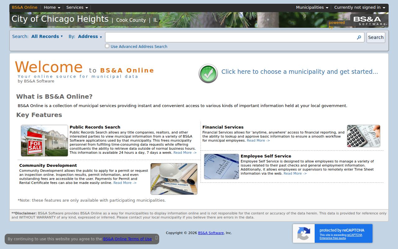
When a record is absent or too brief, contact Chicago Heights Code Enforcement or submit the city’s online FOIA form. The city also accepts its printable request by mail, email, fax, or in person.
The official Code Enforcement page gives the permit and inspection office context.
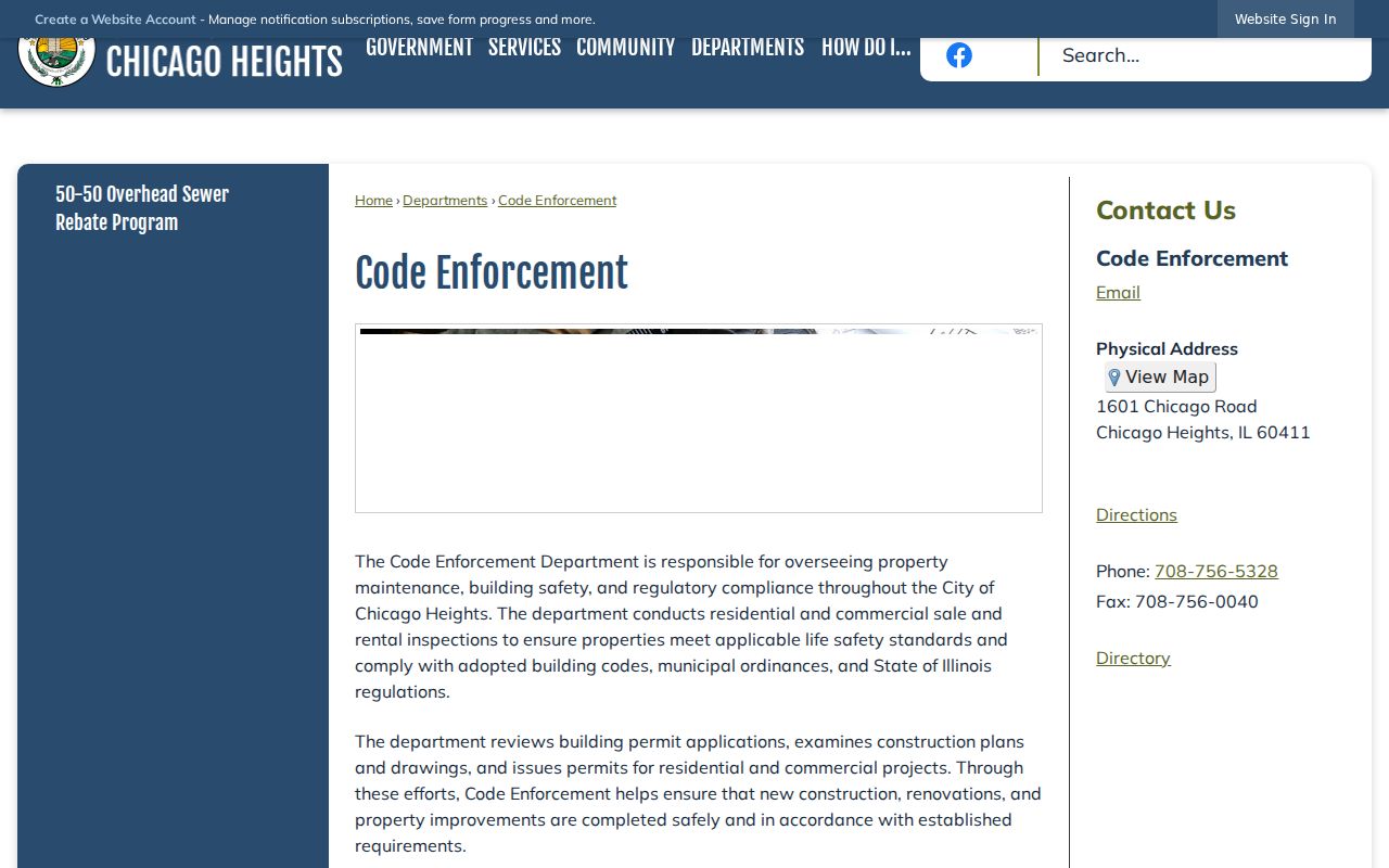
Its office route is the practical fallback for address records that the portal does not publish.
Read Chicago Heights Streets Over Time
Chicago Heights has no verified official street-renumbering table in the research sources. That gap matters. An old house number may fail in a modern portal even when the building or lot survives. Bridge it with the PIN and legal description, then compare the 1897, 1911, and 1950 Sanborn volumes, reported library maps from 1911 through 1956, city directories, phone books, ward maps, and dated newspaper notices.
For the historical shelf itself, use the Chicago Heights city directory collections. Reverse Haines and Criss-Cross runs from the 1980s and 1990s are especially useful by address. Earlier named directory runs have gaps, so a missing year cannot show that a household was absent.
The Chicago Heights City Engineer handles streets, planning, zoning, floodplain, stormwater, and infrastructure context.
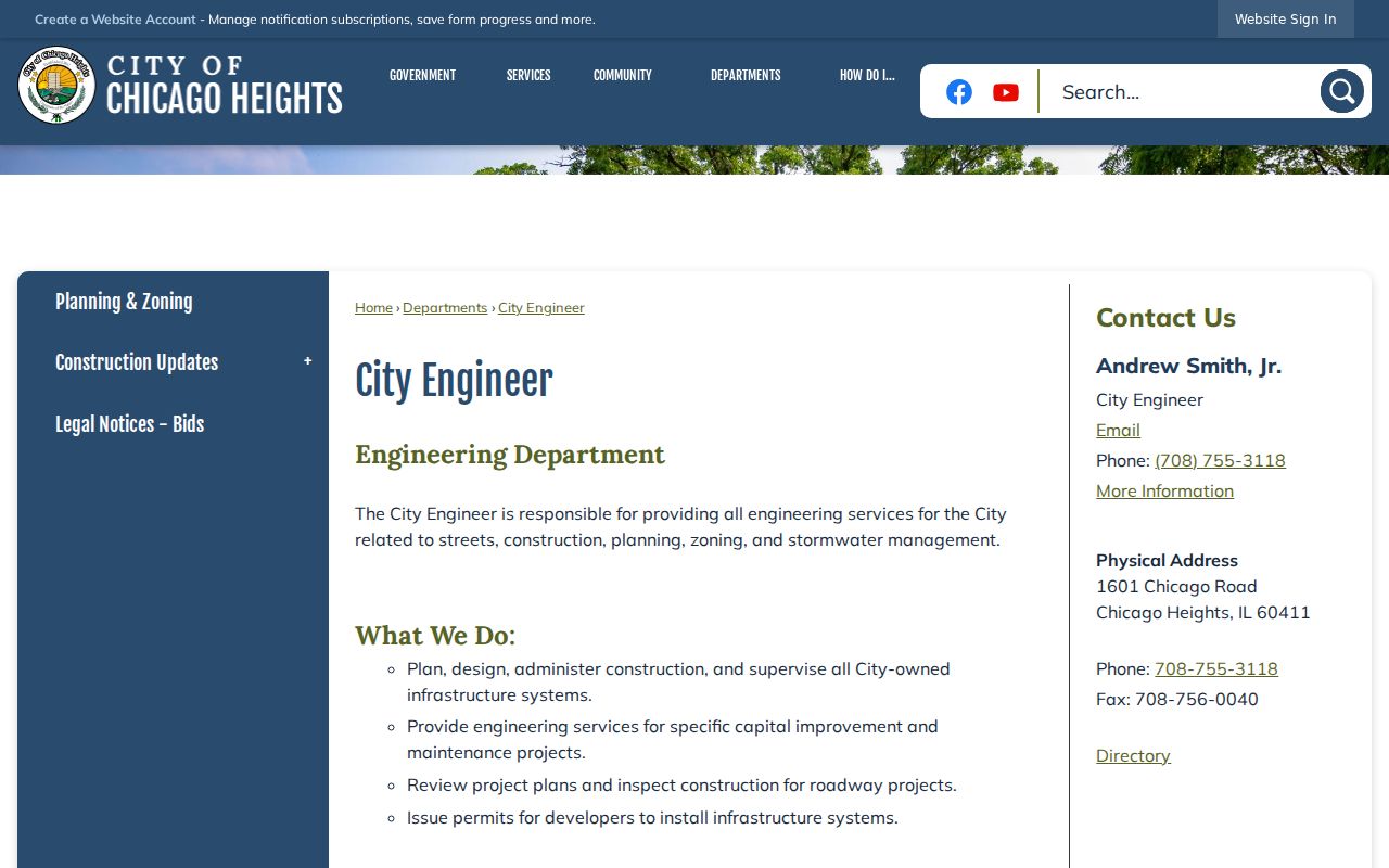
Engineering or map records may explain a street label, but they are not a resident roll.
Note: Record the map, directory, or portal date because a Chicago Heights street label and parcel snapshot can change independently.
Chicago Heights Street Search Limits
No official Chicago Heights street directory supplies every current occupant. The parcel card does not expose a verified household. CookViewer maps assessed units, not people. The public voter tool checks one person through name, birth date, ZIP, street number, and a dynamic street choice; it cannot be browsed as a street list. Full Illinois voter files are restricted to qualified political purposes and are not a general public directory.
Driver-address data is restricted, protected addresses may be withheld, and no public utility-customer list was identified. A situs address may belong to an owner, a renter, a vacant parcel, or a structure with several units. Commercial neighbor tools can also be stale or merge unrelated people. Verify a useful lead with the office that created the record and retain the record date.
Lawful use. Chicago Heights address records support lawful property, family-history, and civic research. Never use an address trail to stalk, harass, intimidate, or harm anyone.
For a search centered on one named person rather than all parcels on a road, the Chicago Heights resident lookup keeps the identity checks separate from the street chain.